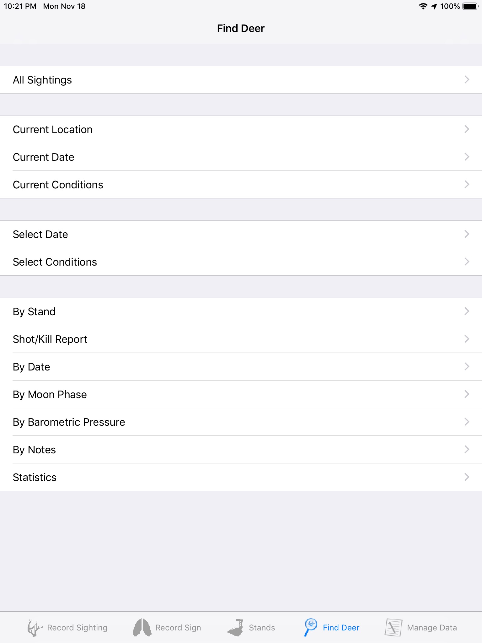
iGoHunting app for iPhone and iPad
Developer: Ei-Sor Development LLC
First release : 25 Sep 2012
App size: 11.54 Mb
iGoHunting is not a game! It is a ground-breaking data collection and powerful data analysis app for the casual to serious whitetail hunter. With iGoHunting the outdoorsman can capture the exact GPS location, time and date, weather conditions, and type of deer sighted during your hunts. All at the point of the sighting. Gone are the days of trying to remember what you saw , where and what conditions were like for your journal. Data collection is more accurate making data analysis more reliable. The next time you go hunting you can analyze your past sightings for the best places to hunt given the current date and conditions. Plot this data on a map to see their relationship to one another and success potential. Top sighting locations are identified automatically on the map. iGoHunting also allows you to save stand locations and analyze their potential given current conditions. You can also record shots and their results. Like to scout to improve your chance of success? Record the location of rubs, scrapes, trails and other sign and display them on a map to determine potential hunting location.


